After looking into the history of our phone box last week and uncovering lots of fascinating information we have decided to share some more interesting pictures from Eric’s collection of historic local postcards, with a ‘picture of the month’.
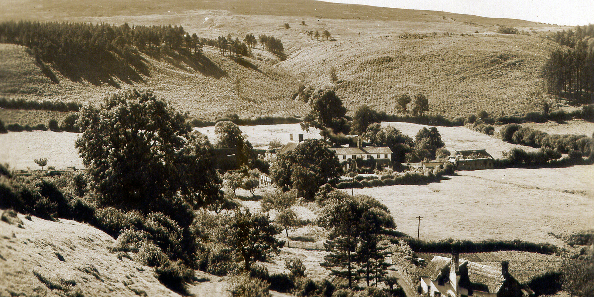
Our first featured postcard is believed to have been taken sometime between 1925-1935 and shows the view looking down from Knowle Top towards Wychanger Drive, with Robin Howe (the hill) in the background it looks very different to our picture of Luccombe taken from the same hill last year (bottom) as you can see there are a lot less trees, as Eric explains:
“I remember hearing that the woods were cleared during WW1. The old wooden village hall (that stood next to the telephone box) was originally a building that was used to house Portuguese prisoners of war engaged in these timber felling operations. It may have taken some time to re-plant the woodland and the rows of young trees are clearly visible.
“When my parents first moved in, what is now the overgrown orchard next to Wychanger Drive was the garden, and the lower part towards my front gate was an orchard area, so this indicates that my parents had not yet, or only just moved in.
“It is interesting to see the nice wide track in the foreground leading to Knowle Top, where there were iron ore workings in the mid 19th century and the area at the top was not covered in thick woodland. The high point overlooking the village was a popular site for Guy Fawkes bonfires and a huge bonfire that was lit for the 1953 Coronation.”
Click to see a larger version of the images
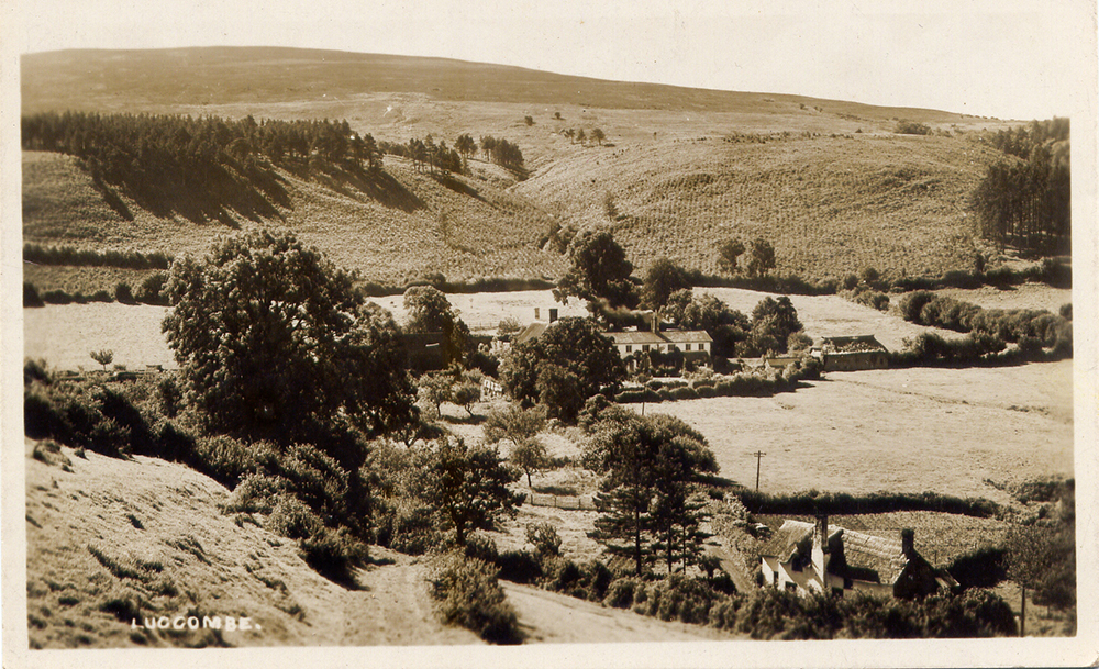
The view across Wychanger circa 1925
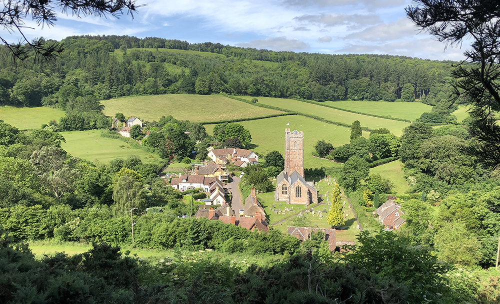
Almost the same view in 2018 (this is looking slightly to the right of Wychanger, but you can see how much the trees have grown on the hill in the background (and the foreground!)
A fascinating image- thanks for sharing and looking forward to seeing more of these.